Window Seat Photos
Inspired by Doc, who has published many nice aerial shots, and by the work of this
pBase aerial photographer, I sat in the window seat for the first time in a long time. Luckily, I got a few interesting photos; enough that I will try taking more pictures next time I fly.
Steve Fossett completed his solo, non-stop round-the-world airplane flight by landing in Salina, KS, which is about 100 miles north and 1 hour prior to when this picture of SW Kansas was snapped. 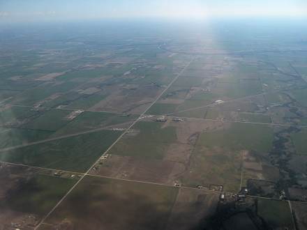
::
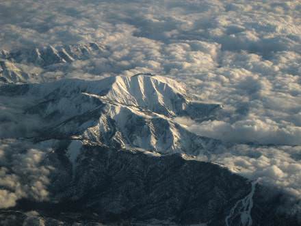
I’m not sure where we were, but this picture was taken about an hour out of Phoenix, headed towards SFO. There’s a small lake in the area and a number of ski runs; I’m wondering if it was near Mt Baldy?
:: ::
Creekside to Pagemill to Skyline to 84
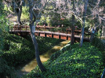
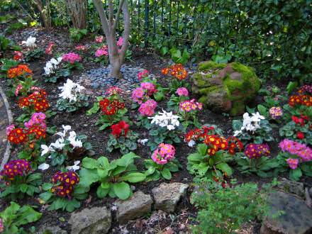
The Creekside is a pleasant place to stay, though the rooms show some signs of aging and are on the smallish side. I think I’ll stay at a residence inn type place next time. The views of the creek are nice, though and the late winter primroses offer a nice splash of color.
::
We began the weekend by driving up Page Mill to Skyline on Saturday morning. The hills above Palo Alto are bright green at this time of year and are just as beautiful as I remembered; Saturday was simply an absolutely beautiful day. These pictures were taken up on highway 35 (also known as Skyline Drive); you can just see the Pacific ocean in the upper left of the 2nd photo below.
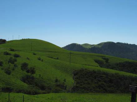
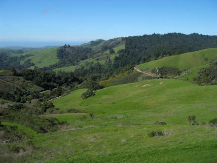
:: ::
Golden Gate to Stinson Beach
Since we love to drive, and love the ocean, it seemed an obvious choice to drive up the coast on Sunday. We started in Half Moon Bay, worked our way up to San Francisco, crossed the Golden Gate on our way to Sausalito, and ended the journey near Stinson Beach. Along the way we discovered Ft. Baker, and got re-acquainted with the back way to Bolinas. Dinner at Buck’s was a great end to a great day!
Here’s a small sample of the pictures we took. First, the view overlooking the ruins of the Sutro Baths.
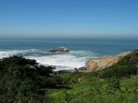
::
Next, a snapshot taken while driving across the Golden Gate Bridge, followed by a view taken from Highway 1 overlooking Stinson Beach.
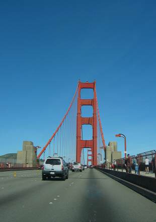
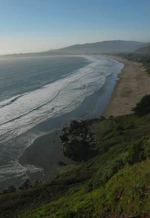
::
Finally, we ended the day down at Ft. Baker, with a view of the city and the backside of the Golden Gate Bridge.
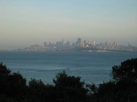
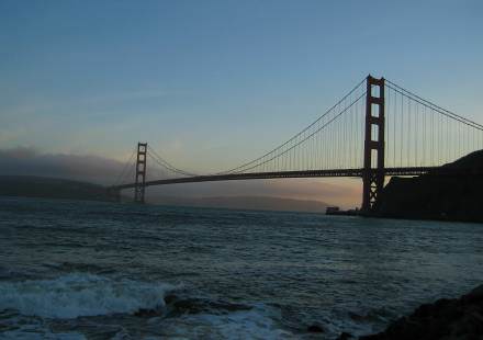
:: ::
Skyline Sunset
We went for a drive after work and ended up heading up old La Honda road to Skyline Drive. First time on that road, and what a neat, twisty, narrow road it was! It’s kind of amazing that we are still finding new places to visit here, even after 25+ years. Anyway, I had a harder time choosing only one or 2 photos this time; I hope you enjoy them!
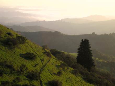
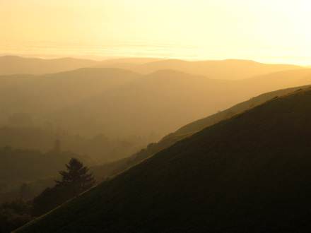
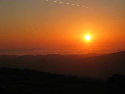
And leave it on!
:: ::
Greyhound Rock at Sunset
These two photos were taken on Highway 1 a few miles north of Santa Cruz. The long rock looks a bit like a reclining greyhound, hence the name Greyhound Rock.
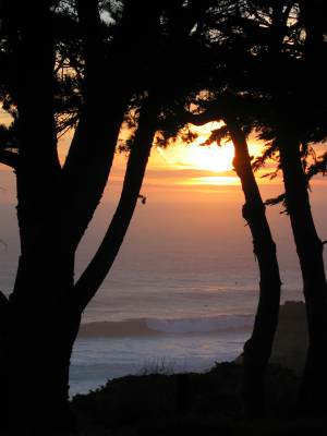
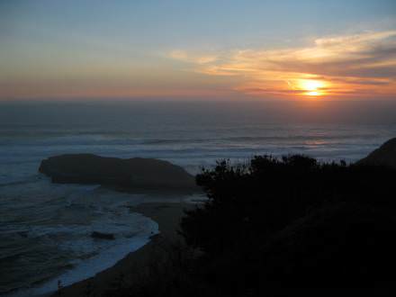
:: ::
We Get Around
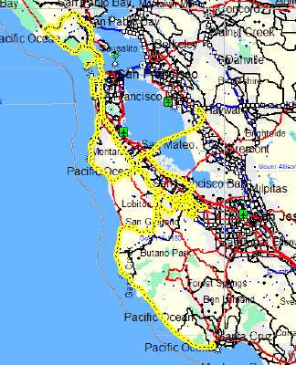
It’s safe to say we had a blast visiting the SF bay area last week. As this image of our GPS tracks shows, we spent a lot of time driving on highway 1 near the ocean. From Stinson Beach to Santa Cruz, we enjoyed every mile.
Now, after a too short time at work, and not long enough with friends, we’re down in San Diego for this year’s Emerging Technologies Conference.
:: ::
San Mateo Coast Sunset / A Flock of Egrets
I was looking through the pictures of our recent trip, trying to select the best ones for posting and came across a beautiful sunset picture overlooking the cloud-covered Pacific Ocean near the San Mateo coast.
Though I was pretty much done with images from the northern leg of the trip, the soft golden hues, and interesting patterns of light and shadow caused me to post one more image before moving south, down to San Diego.
You may click on the image to see a larger version at flickr.
In addition, it gives me a place to post another photo that didn’t fit in with any of the larger sets I normally post. Below is a picture of a flock of egrets, close to highway 101 somewhere near San Luis Obispo. They bright white feathers contrast nicely with the rich green hills seen in the background.
Note that per a previous posting, these images are hosted on flickr. In addition, I’m trying something new with the 2nd image. It doesn’t just link to the flickr page for the image; it links to a page showing a set of images that include a few more photos of the egrets. The set may then be viewed as a slide show, or any particular image may be viewed at a larger size.
:: ::
San Diego: March 2005
Better late than never, here’s the latest installment of our March, west coast business trip, travelogue. After 10 days of working in Palo Alto, we headed south; it was during this drive we saw the egrets mentioned in the last update. In due time we arrived in San Diego for the eTech05 conference.
Below is a small sample of the images taken around San Diego. First, there’s a photo of the coastline a bit north of San Diego, near La Jolla, followed by a view of the lovely Silver Strand beach, and ending with a nice sunset image.
You may click on any of the photos above to see a larger version; alternatively, a slide show of these and other San Diego photos is available.
San Diego to Blythe: 18 March 2005
I’d like to finish documenting our spring west coast trip before we go back this summer, so without further ado, here’s the latest entry.
Today’s travels (actually back on March 18th) take us from San Diego to the far eastern edge of California, in Blythe. Along the way we saw magnificent spring flowers, including this hillside just covered with yellow flowers:
These bright red desert flowers are worth sharing as well:
Finding ourselves the furthest south we’ve ever been, we took advantage of the situation to drive by the Salton Sea, which is a dying inland sea east of San Diego. Below is a photo showing the starkness of the area.
We saw something on the eastern shore of the Salton Sea that we’d never seen before, palm tree farms! Upon reflection, they do have to come from somewhere. Now when you see a new shopping mall with full grown palm trees you’ll know where they may have come from.
We also saw a number of “unshaved” palm trees. Unlike palm trees in residential or businesses areas, these wild or native palms don’t have their old, dead fronds cleaned away. Quite a different look than usual, though I understand rats and other critters live in these trees, so I guess that’s why, besides looks, they are usually kept trimmed.
Finally, as we approached Blythe we drove through the Imperial Sand Dunes. It was beautiful, both in terms of the sand dunes and the beautiful purple and white desert spring flowers.
You can click on any of the photos above to view a page with more of the photos take between San Diego and Blythe. From that page you may then view larger versions of all the images.
:: ::
California Desert Near Blythe
Continuing our long journey (didn’t we start in March?) home from San Diego, today’s posting covers the 19th of March, a day we spent wandering off the beaten track in the desert near Blythe, California.
The road shown in the picture was one of the best ones where we were. Sometimes a dry creekbed served as the “road”.
It was a beautiful, crisp day, and the desert was very green due to a rainy winter.
Desert flowers highlighted against a dark, stormy sky (thankfully it didn’t rain).
Part of exploring a desert is looking for interesting rocks and minerals along the way. Though I’m not sure what these are, other than the geode in the upper right, they are nonetheless interesting specimens. (Image is a scan of the minerals set right on the glass of a flatbed scanner. Tip of the hat to these guys for turning me on to the technique.)
Arizona Desert: Spring Flowers and Cactus
Here’s the final entry* in the journal of our trip out west in March of this year. These photos were taken on March 20th, between Blythe, California and Phoenix, Arizona. This was a very wet spring, and as a result the wildflowers were especially numerous and colorful this year.
* After these photos were taken I spent 3 days in Phoenix on business, and after that, being both a bit burned out and homesick, we drove pretty much straight home. Took a few photos along the way, but nothing really worth sharing.
:: ::


