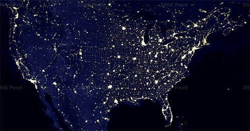
Many folks have seen images of the earth at night, showing the lights from cities and towns around the world. I think the first poster I saw in this vein was back in the early 80s. Graduate student Peter Pesti (blog) has taken the concept into the 21st century. Married with google map technologies, his vision of (google) earth at night is fun to explore. Having traveled by various routes on our trips to and from California, it was fascinating (but not surprising) just how well the city lights and highways were aligned, especially along smaller highways such as US 54 from Kansas to New Mexico.
We Will Survive!

