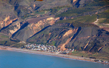
Update: Doc took this photo of the La Conchita area from a plane. It clearly demonstrates that the hill behind the town has slid in the past and will likely continue to do so in the future.

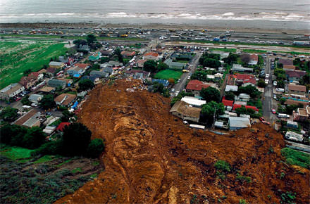
Thanks to Doc for the link to this image of the southern California mudslide that wiped out about 15 houses a couple of days ago.
Click the image to see a larger version.
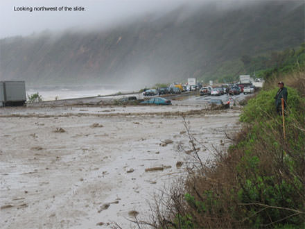
And while the storms out west pale in comparison to what happened late last year in Asia, it’s still somewhat shocking to see highway 101, a major north-south artery connecting southern and northern California, covered with mud. This mudslide is in the vicinity as the one above and happened about 45 minutes before the major slide.
Click for larger version and to see more images in a series photographed by oceanographer Grace Chang.


where do the mudslides occurr like r they on the boundry line of the state or in the middle?
these mudslides were near the western edge of California, right on the pacific ocean.
how fast do mudslides occur?