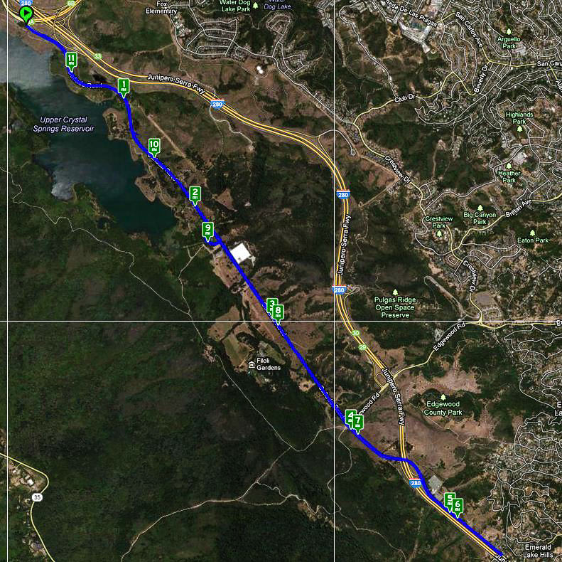
Early March has come on like a lion when it comes to riding my bike! So far, I’ve gone on 7 rides over the past 9 days, totaling 90 miles on 5 different trails and roads. What follows are photos and notes from each of the 5 routes.
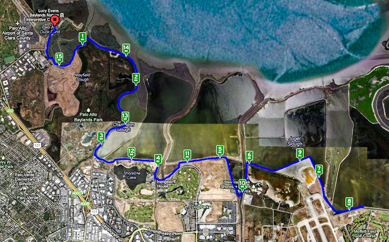
Bay Trail
This is my main riding location, and I frequently visit here to take photos as well.
Map of the ride. Click the image above to view an interactive map showing the details of my ride. (Link will open in new window/tab.)
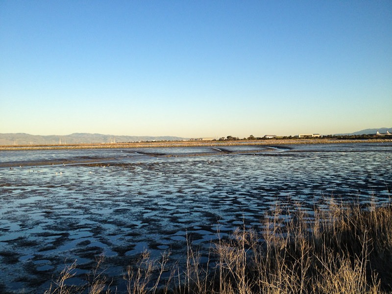
The extremely low tide, coupled with the late hour, resulted in some very nice textures and patterns. Note the twin peaks of Shoreline Amphitheater on the far right.
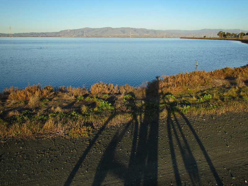
The headless rider!
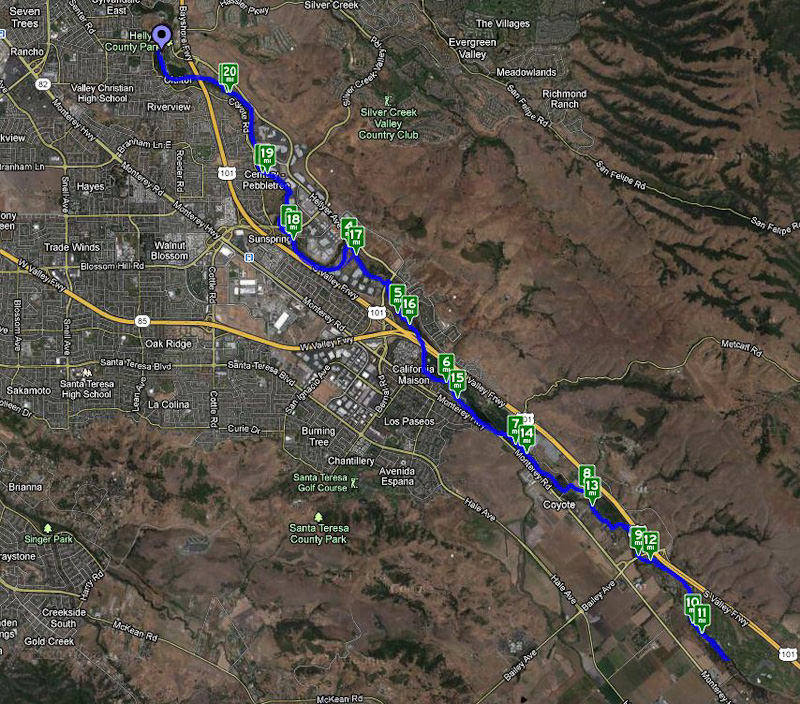
Coyote Valley Trail
Years ago, Sheryl and I rode this trail. I did go a little further than in the past, hitting 20 miles one day!
Map of the ride. Click the image above to view an interactive map showing the details of my ride. (Link will open in new window/tab.)
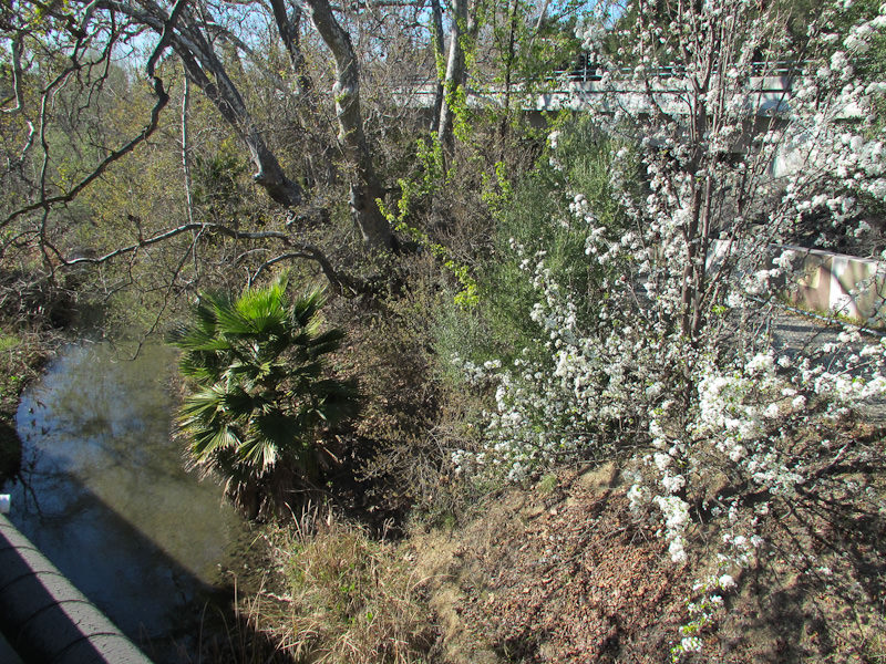
Late winter Early spring in the Coyote Valley.
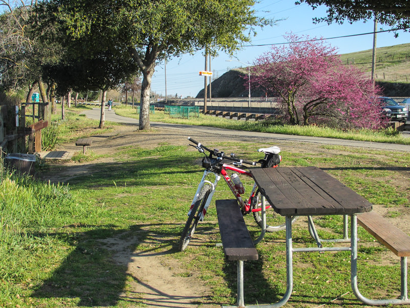
This is about 6 miles into the ride.
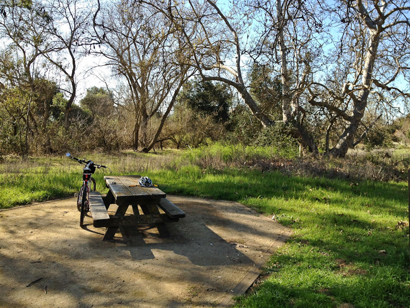
This is about 10 miles down the trail. Nice relaxing spot for a break.
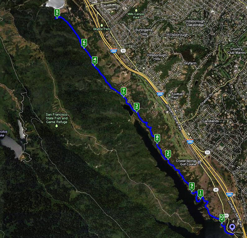
Sawyer Camp Trail
Very nice trail. Sometimes riding through woods, other times riding along side the lake. Ends with a bit of a climb to the top of a small dam.
Map of the ride. Click the image above to view an interactive map showing the details of my ride. (Link will open in new window/tab.)
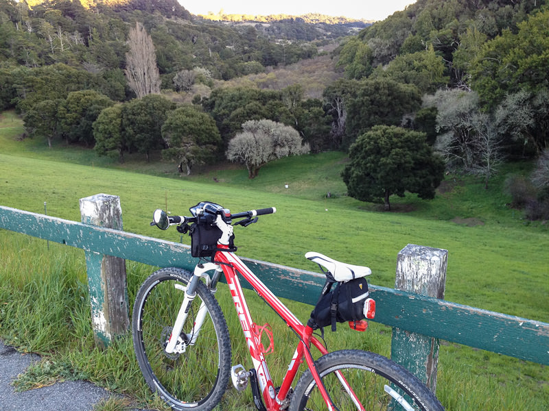
Only stopped for photos once during this ride; it was worth it!
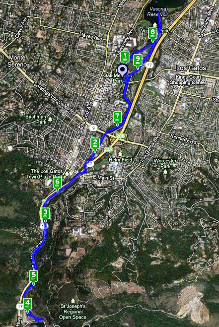
Lexington Dam
Though my guide book calls this one of the “easiest” rides I knew from experience that Lexington Dam is higher than Vasona Lake. And so it is, but the ride wasn’t really that rough, and it sure was fun coming back down (though there was that 90 seconds of terror on that one stretch!)
Map of the ride. Click the image above to view an interactive map showing the details of my ride. (Link will open in new window/tab.)
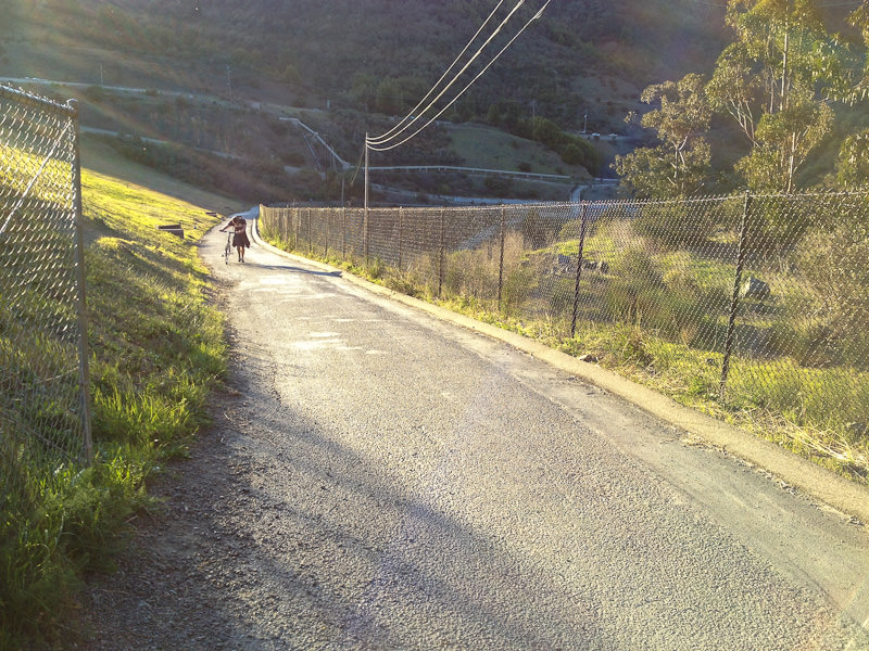
That could have been me, as I also had to walk up the back side of Lexington Dam. Fun ride back down! (The scary part came later.)
Canada Road
One of the most bike-friendly roads in the area. On Sundays 4 miles of the road are closed to motor vehicles; very nice!
Map of the ride. Click the image above to view an interactive map showing the details of my ride. (Link will open in new window/tab.)
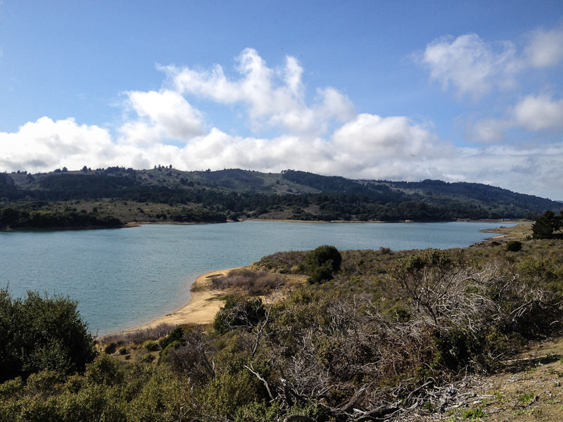
Upper Crystal Springs Reservoir
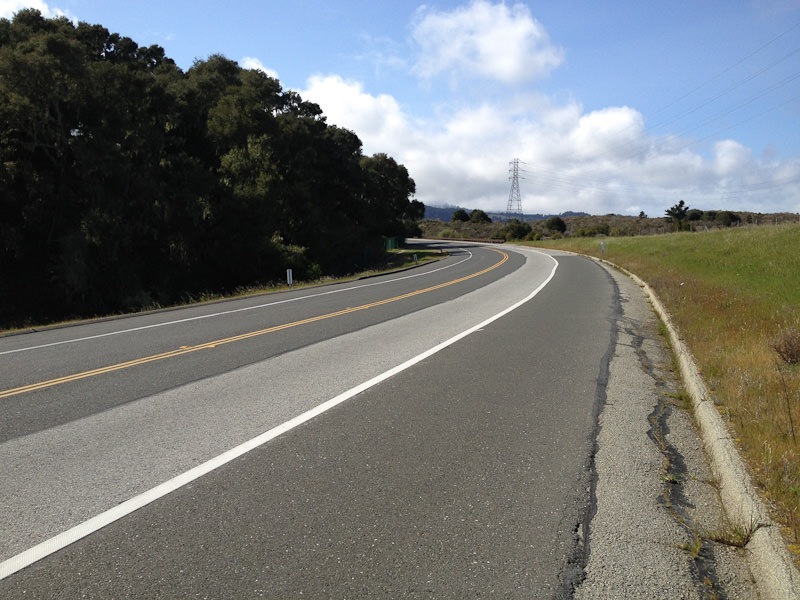
This bike lane is as wide as the vehicle lane! (Though it does eventually narrow, it’s still very nice this entire 8 mile stretch of road.)
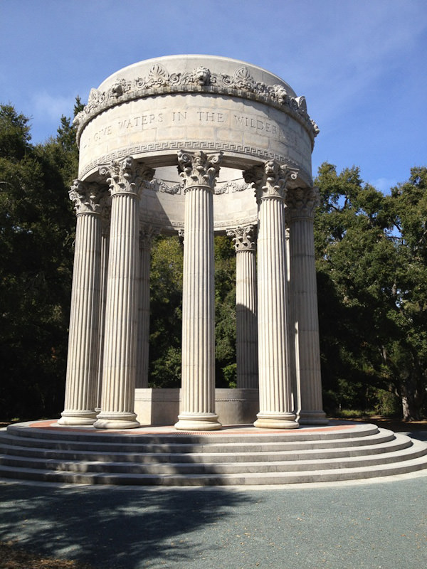
Pulgas Water Temple
::
And that’s my cycling update as of March 12th. I was shut out due to high winds today and it’s supposed to rain all week, perhaps into the weekend, so I’m glad I was able to ride so much early in the month.

